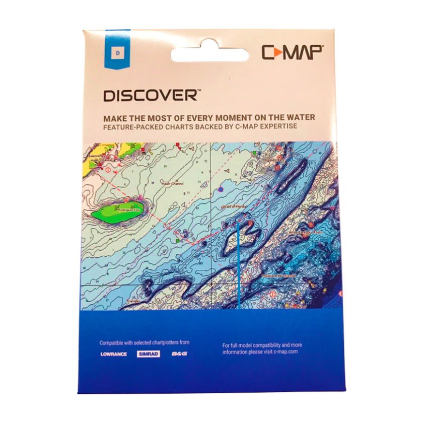
Cruising, fishing or sailing the Discovery chart has all the core info you need.
This chart is often purchased with Lowrance Reveal fishfinder/chartplotters as it brings the chart detail up to the same level you get in Lowrance's more expensive ranges
- Full featured vector charts make for easy navigation by giving you accurate chart detail derived from official Hydrographic Office information.
- High resolution bathymetric layer helps identify shallow areas, drop-offs, ledges, holes or humps.
- Custom depth shading allows you to set a clear safety depth, maintain a paper-like view or create your own custom shading.
- Easy Routing helps you automatically plot the shortest, safest route based on detailed chart data and your personalized vessel information. No subscription required.
- Tides & Currents feature show projections of water level and direction of tides to help plan your day out, cruising, angling or sailing.
- Detailed marina port plans to help easily navigate home as well as high detailed harbour and inlet approaches for safe passage
- Online Updates – keep your chart up to date, with 12 months’ free online updates.
- Comes on a 32GB micro SD card
Delivery estimate 1-4 business days
$5.99 standard freight rate for non-rural, shoe box sized deliveries. Additional charges apply for rural delivery, island delivery, dangerous goods and large packages.
Returns
Check out our easy returns policy.
Product Questions
Is this compatible with a c120 raymarine. Thank you
Question by: John Cummins on 29/12/2022, 9:00 am
We don't sell that RayMarine head unit but looking at the specs list there is no mention of C Map compatability so it likely isn't compatable sorry. That RayMarine unit says it needs Navionics charts on a CompactFlash card. We do sell some Navionics charts but again you would need to check compatability.
Answer by: Website Customer Service (JS) (Admin) on 29/12/2022, 10:04 am