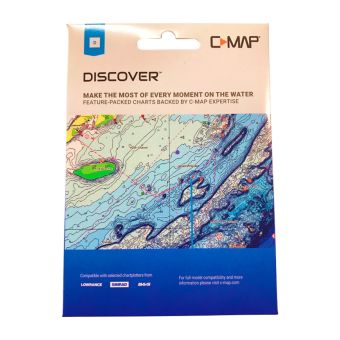
Heading to the Pacific Islands or any of the Pacific territories and want some of the best charts available? Look no further than the C-Map Discover charts. Whether you are cruising, fishing or sailing, C-Map Discover offers a choice of coverages and includes all of the core features you need to make the most of your time on the water. Discover has the very best C-Map high-resolution bathymetrics, including integrated Genesis data, along with full featured Vector charts, custom depth shading, tides & currents and subscription free easy routing. Purchase includes 12 months of free online updates. Compatible with Lowrance, Simrad and B&G chartplotters.
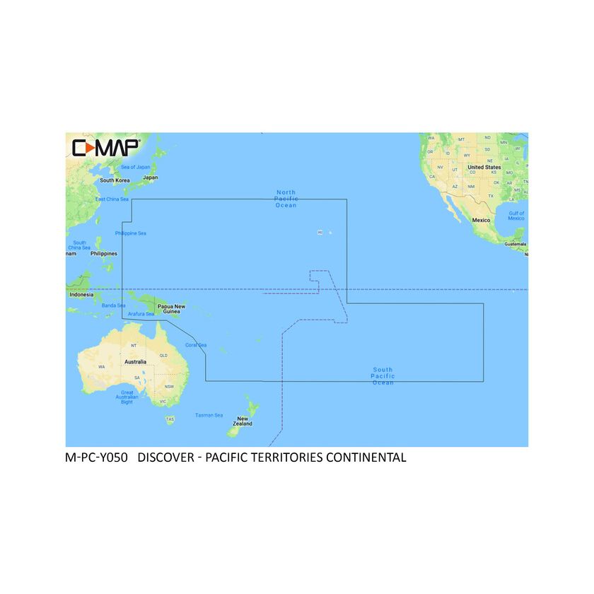
- Pacific Territories charts
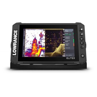
- Compatible with Lowrance, Simrad and B&G chartplotters
- Full featured Vector charts - makes navigation easy by giving accurate, up to date vector chart detail derived from official Hydrographic office information
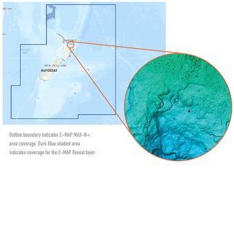
- High res bathymetrics - HRB layer helps identify shallow areas, drop offs, ledges, holes or humps. Now includes complied and quality controlled Genesis detail as part of singular HRB layer
- Custom depth shading - set a clear safety depth, maintain a paper like view or create your own custom shading
- Easy routing - helps automatically plot the shortest, safest route based on detailed chart data and your personalised vessel information
- Tides & Currents - shows projections of water level and direction of tides to help plan your day out, cruising, angling or sailing
- Harbor & Approach details - Unprecedented level of detail. Approach any harbour and inlet with confidence. The perfect conclusion to a long voyage, sailing adventure or exciting day fishing
- Online updates - keep your chart up to date, with 12 months' free online updates
Delivery estimate 1-4 business days
$5.99 standard freight rate for non-rural, shoe box sized deliveries. Additional charges apply for rural delivery, island delivery, dangerous goods and large packages.
Returns
Check out our easy returns policy.